Log in
All resources
Create a design
36,689 Free Images of 1838 Maps
maps in the library of congress
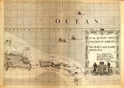
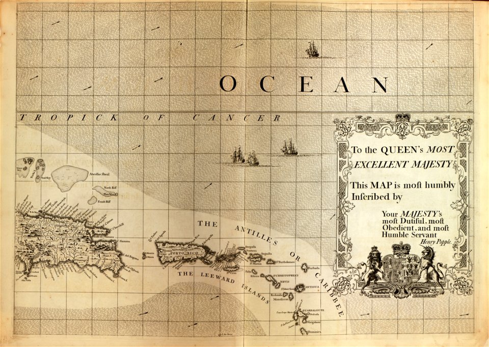
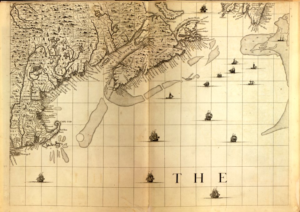
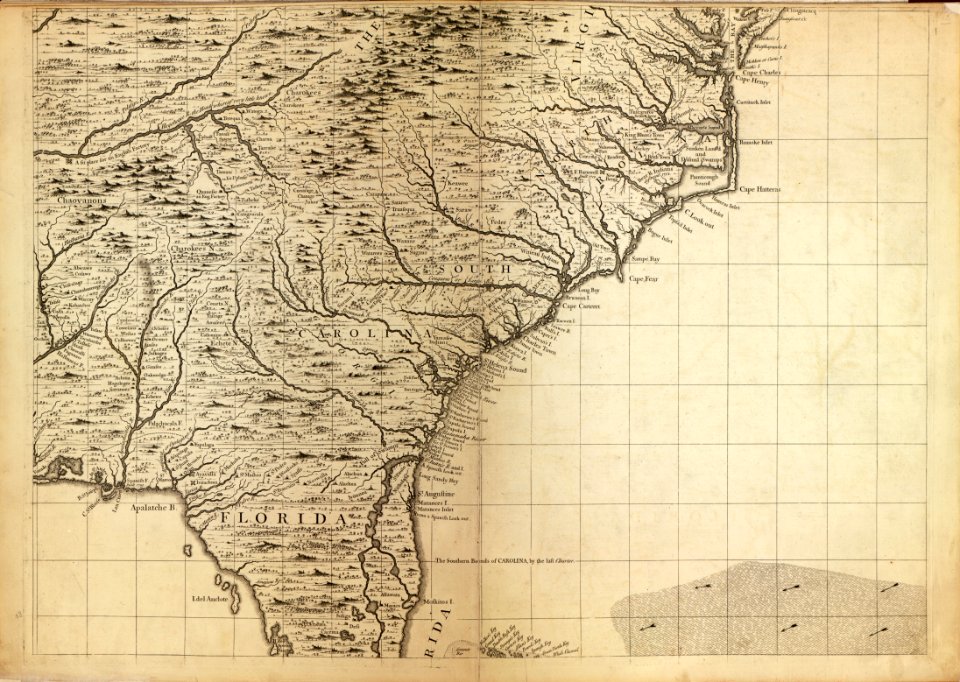
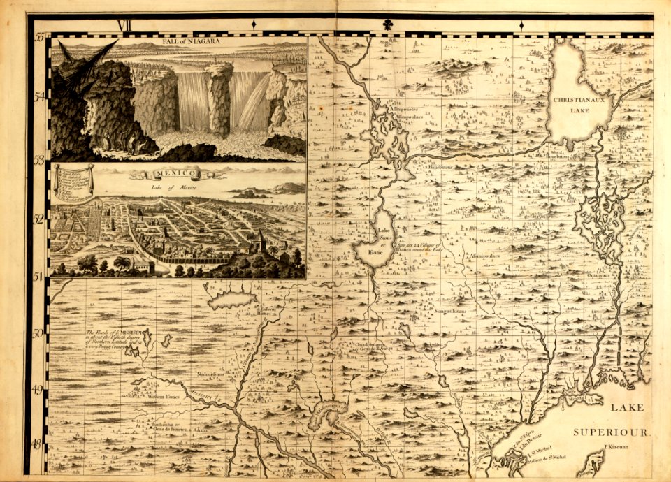
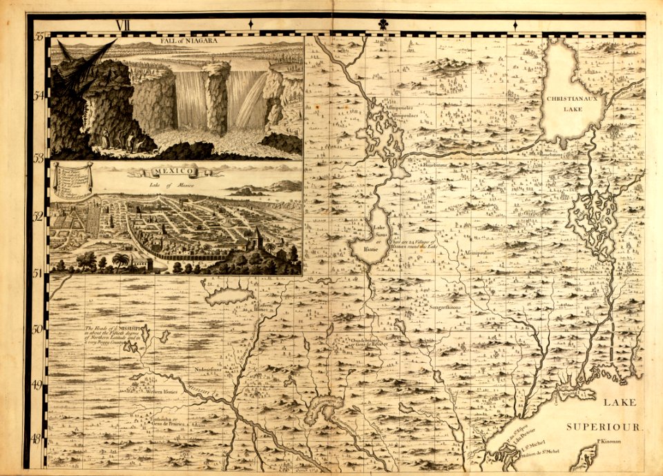
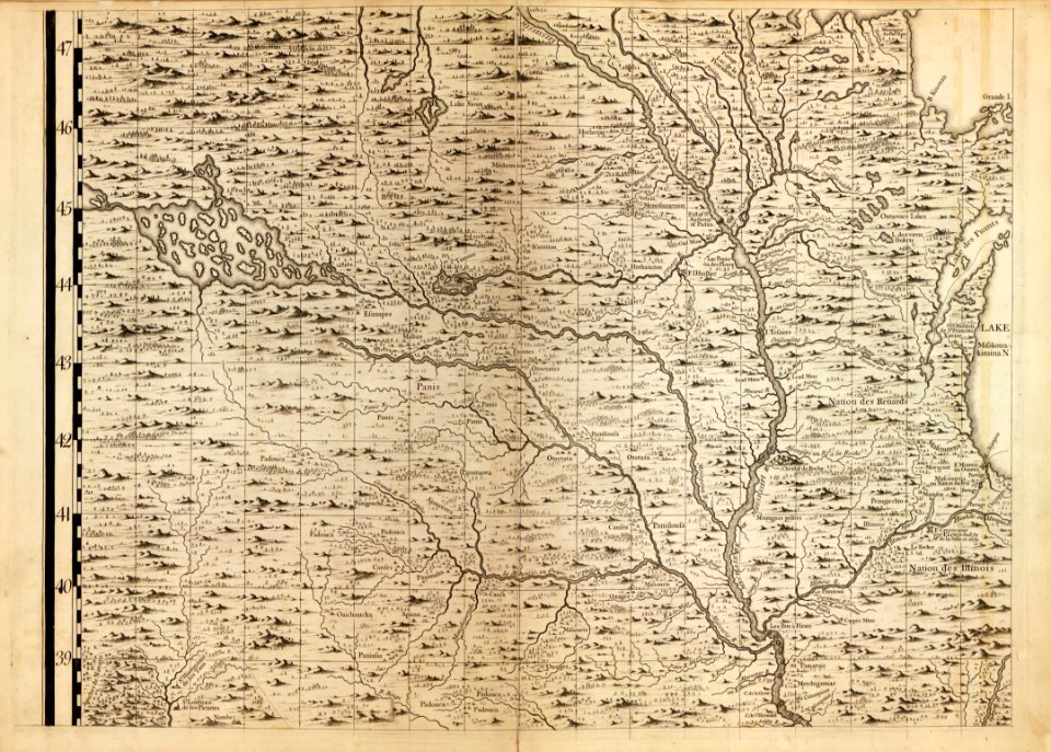
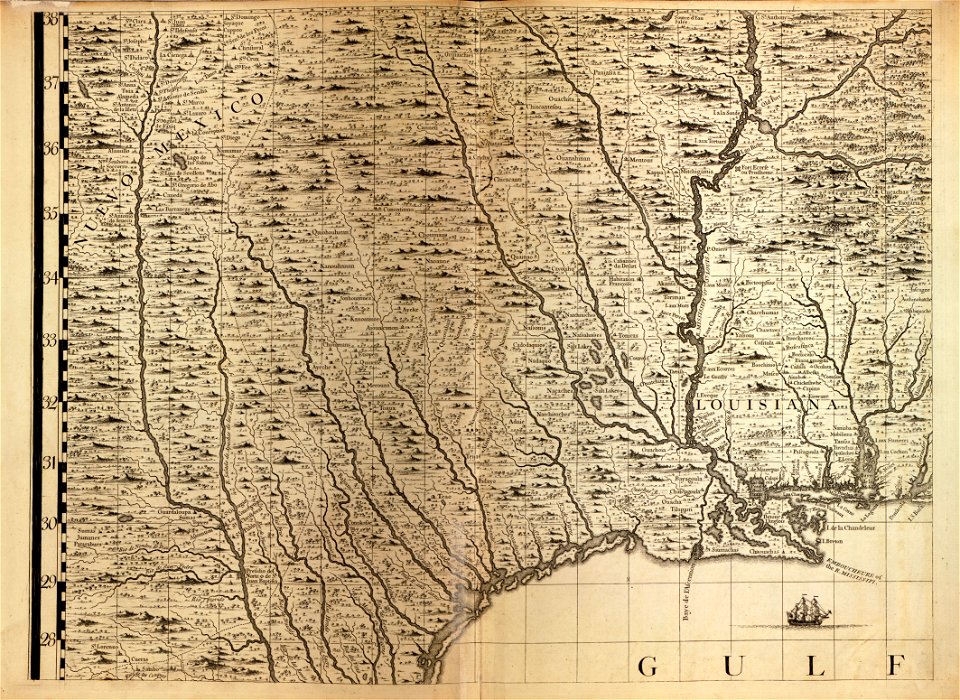
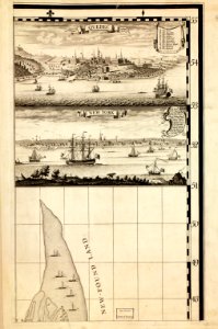
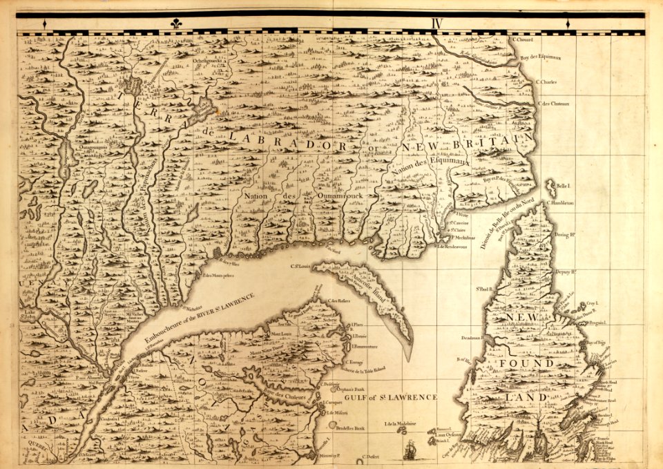
a map of the british empire in america with the french and spanish settlements adjacent thereto
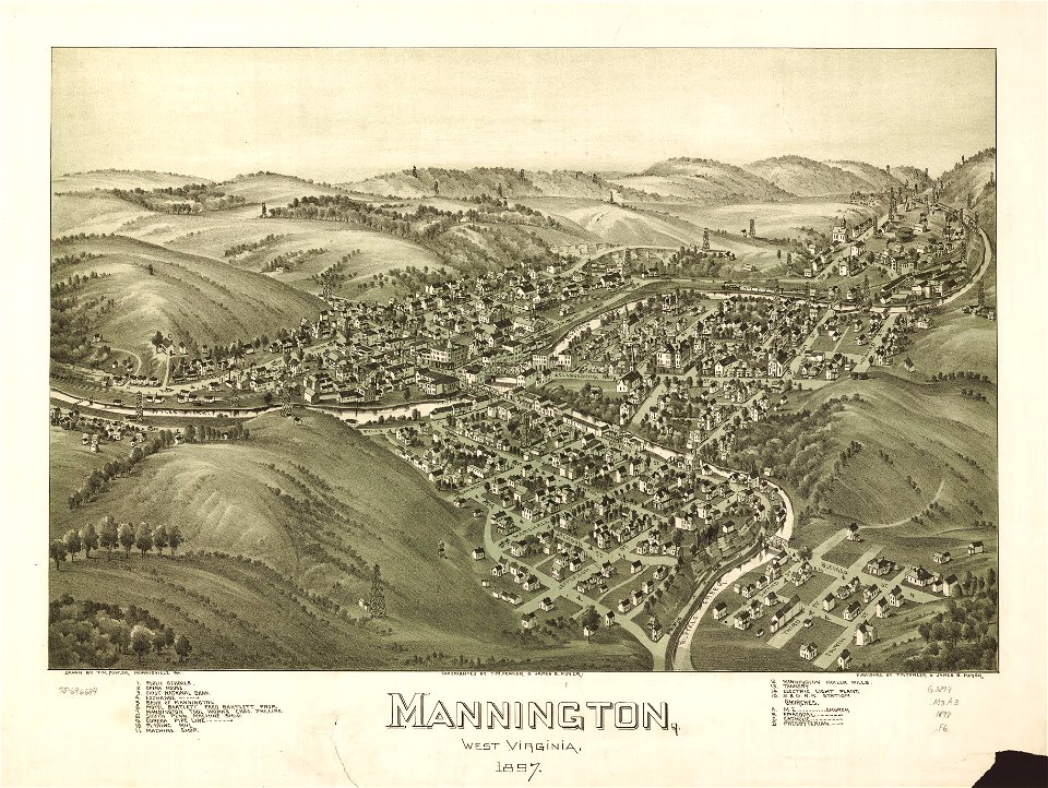
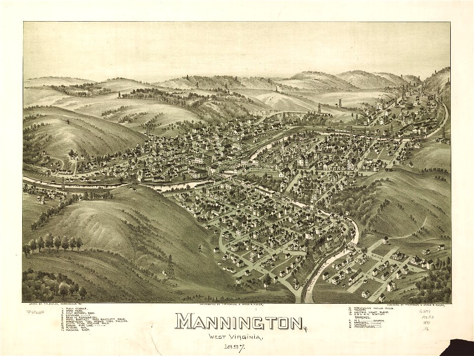
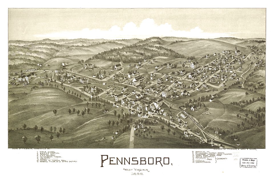
west virginia
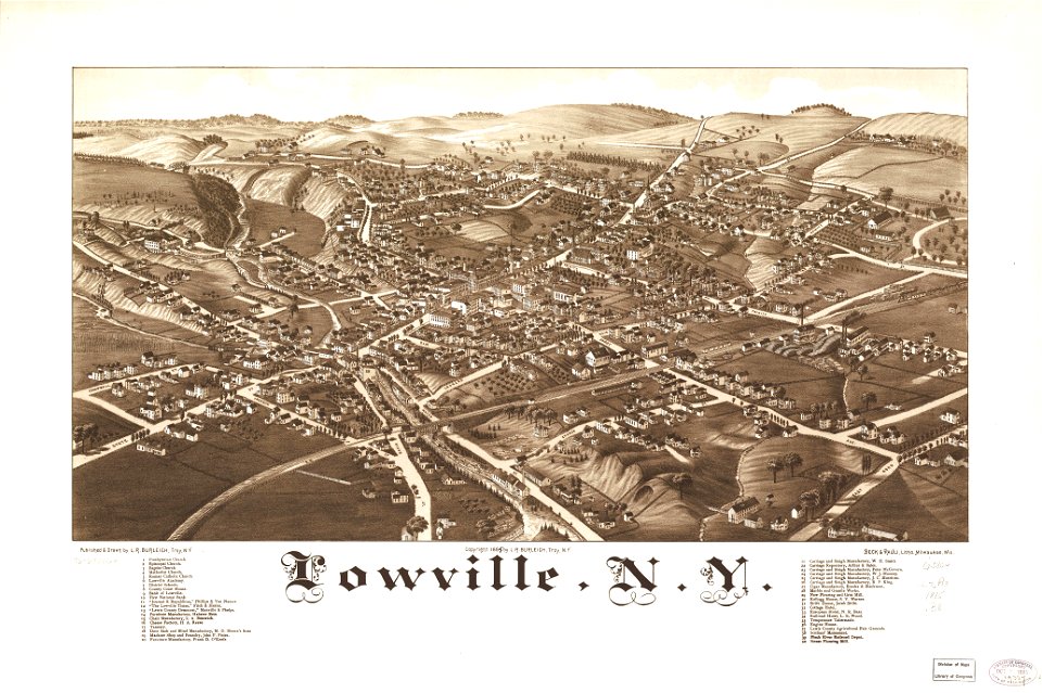
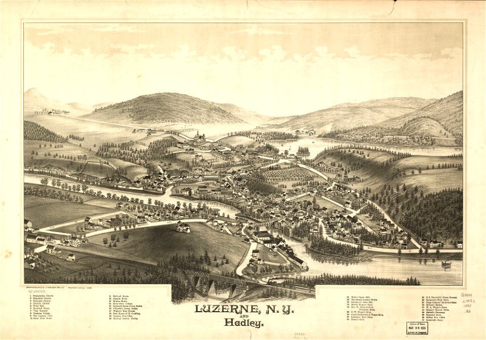
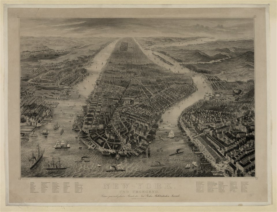
new york
l. r. burleigh
1899 maps of west virginia
1897 maps of west virginia
pennsylvania
1885 maps
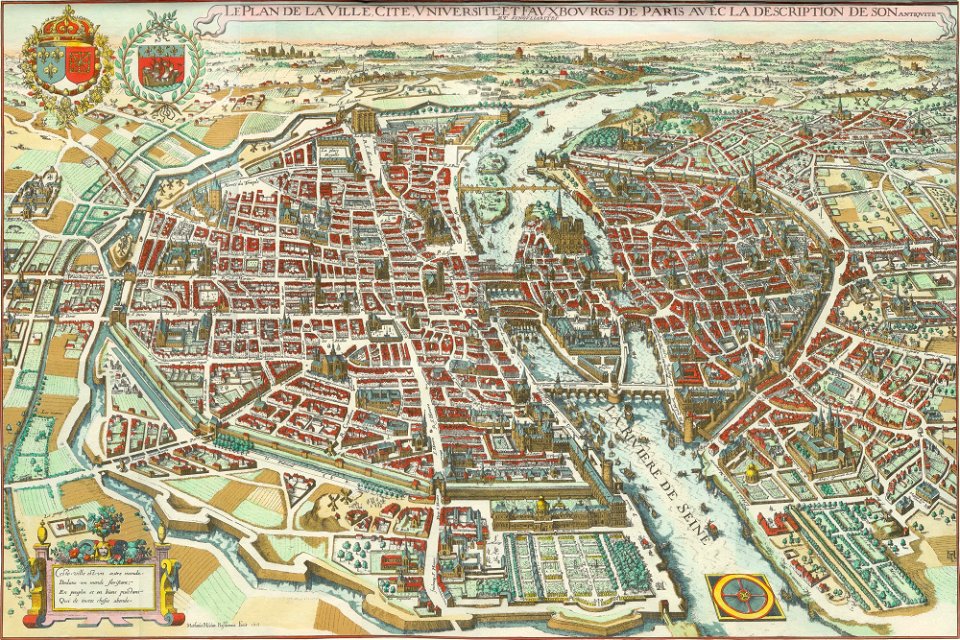
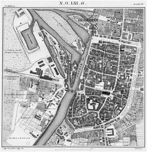
bird's eye view maps of paris
west virginia
morgantown
west virginia
morgantown
maps in the library of congress
west virginia
maps in the library of congress
west virginia
maps in the library of congress
new york
new york
hadley
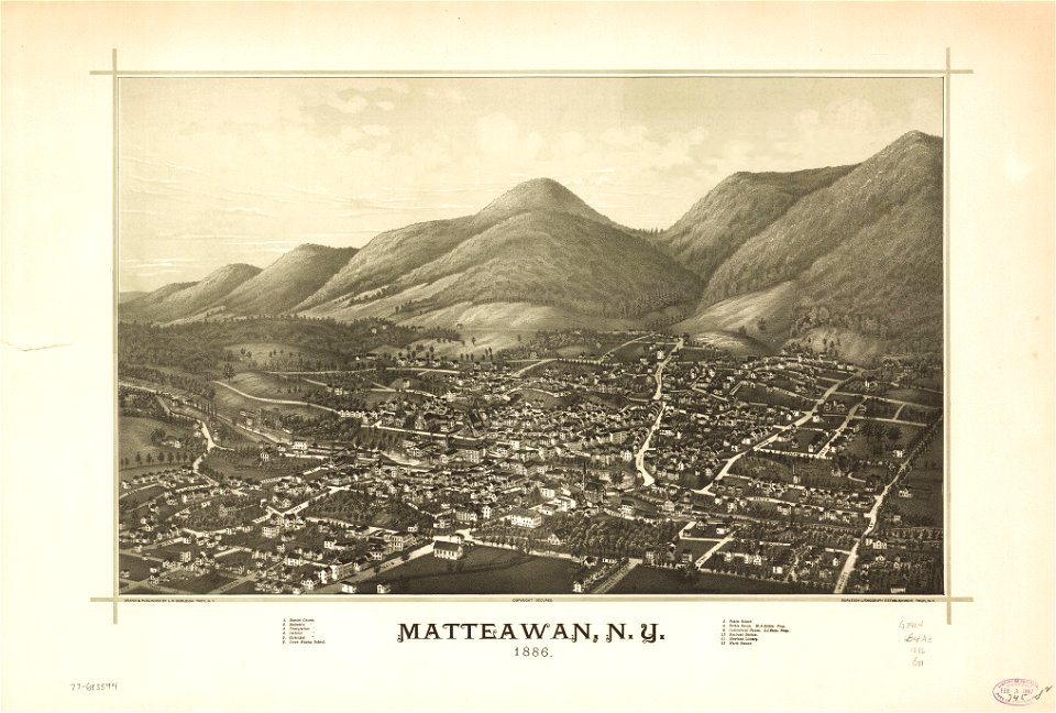
new york
beacon
maps by benedetto bordon
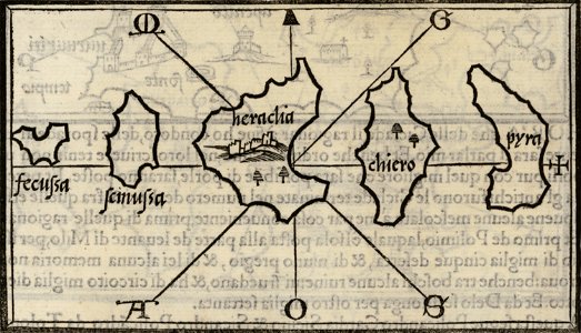
donoussa
maps in the library of congress
pennsylvania
maps in the library of congress
pennsylvania
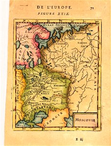
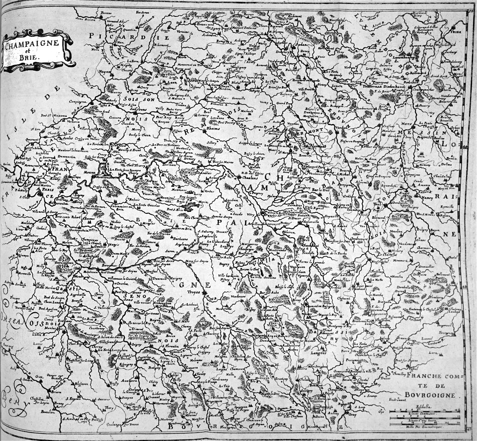
description de l'universe
alain manesson-mallet
pennsylvania
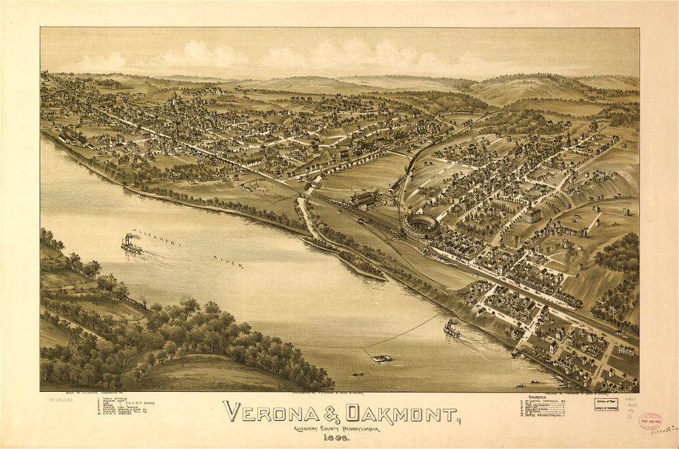
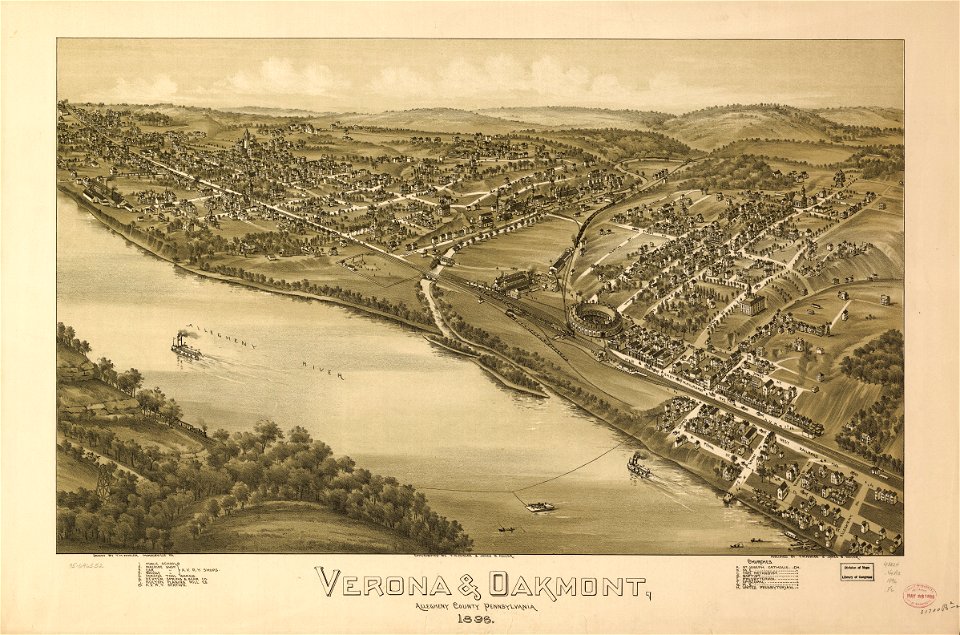
verona
pennsylvania
verona
charts and maps of the royal museums greenwich
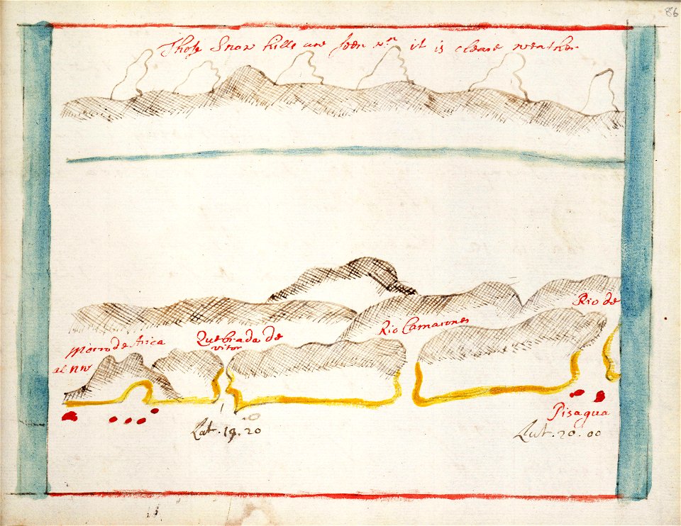
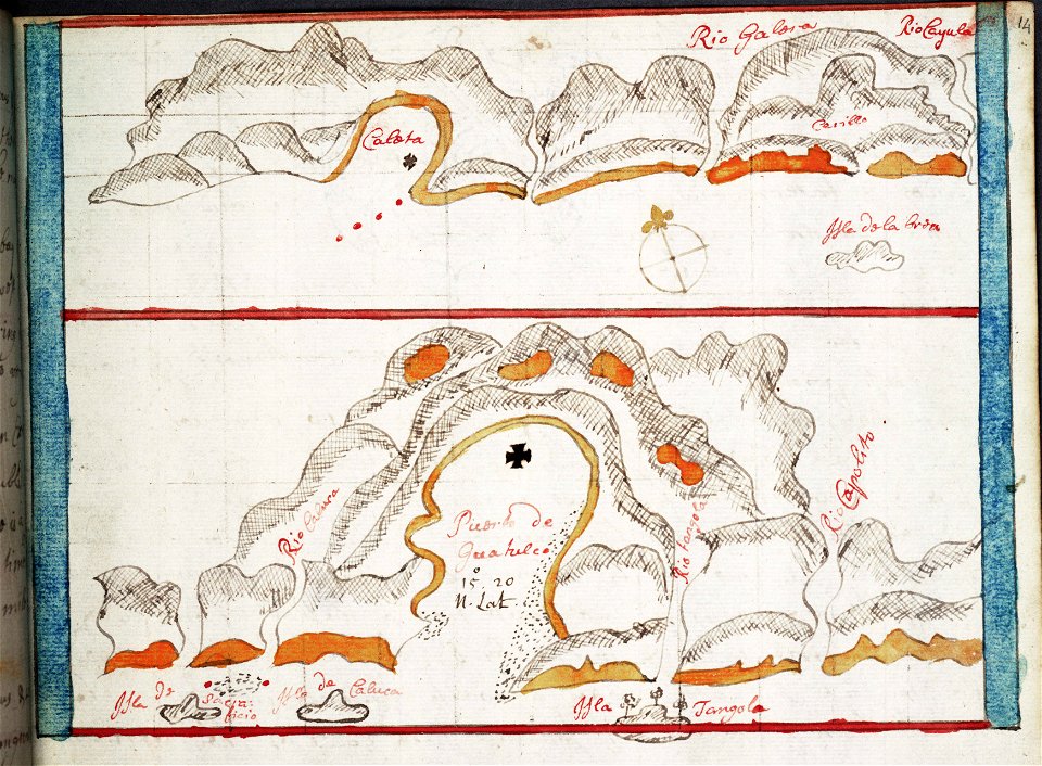
pisagua
old maps of the peloponnese
maps by coronelli
description de l'universe
alain manesson-mallet
bird's eye view maps of paris
pictorial maps of paris
bird's eye view maps of paris
pictorial maps of paris
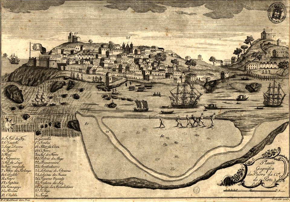
1780s maps of portugal
1789
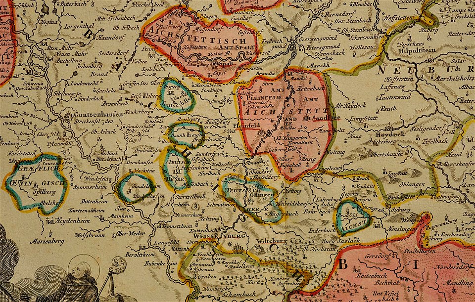
maps of the prince-bishopric of eichstätt
johann baptist homann
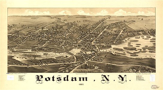
new york
potsdam
charts and maps of the royal museums greenwich
1682 maps
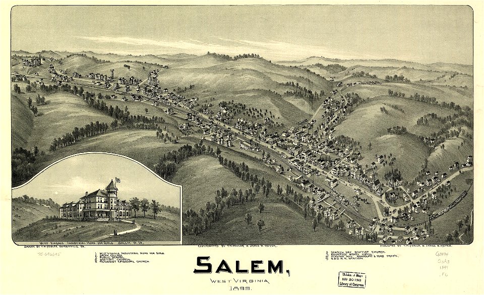
west virginia
salem
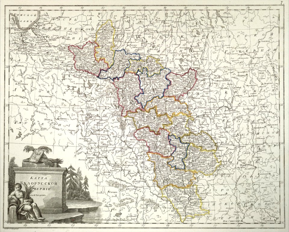
atlas of the russian empire (1800)
old maps of belarus
west virginia
salem
engravings by matthäus merian
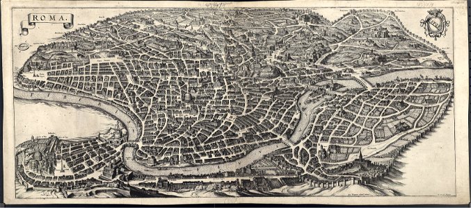
old maps of rome
schloss rosenstein
maps of stuttgart
italian riviera
1773
bird's eye view maps of new york city
1867 maps of new york (state)
maps in the library of congress
west virginia
maps in the library of congress
west virginia
bibliothèque municipale de reims
rès. g 152
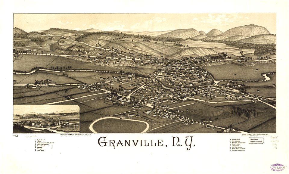
granville
new york
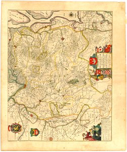
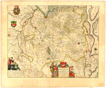
maps of territories in the burgundian circle
atlas novus (blaeu)
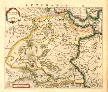
old maps of gelderland
old maps of zutphen
maps of territories in the burgundian circle
atlas novus (blaeu)
württembergische flurkarte 1:2.500
heilbronn
west virginia
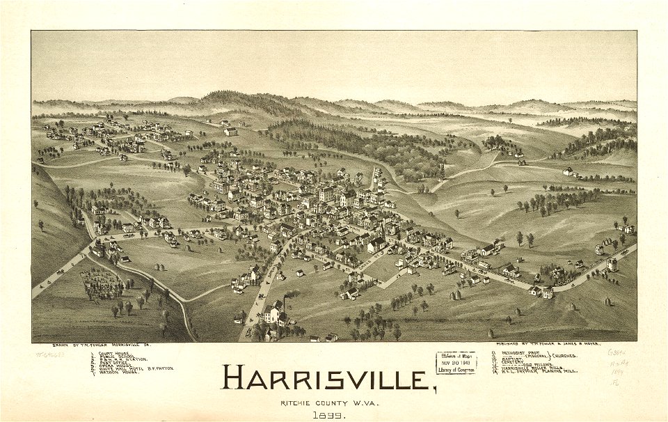
harrisville
maps by brockhaus
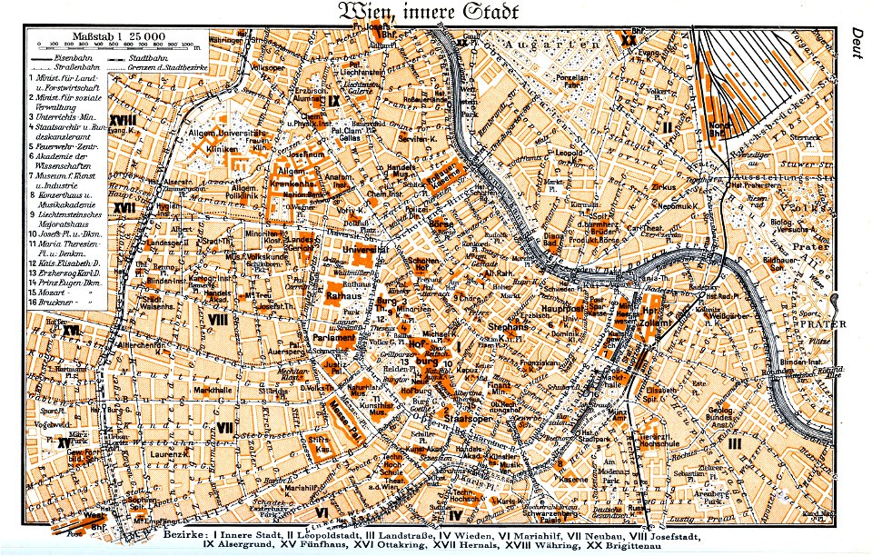
1937 in vienna
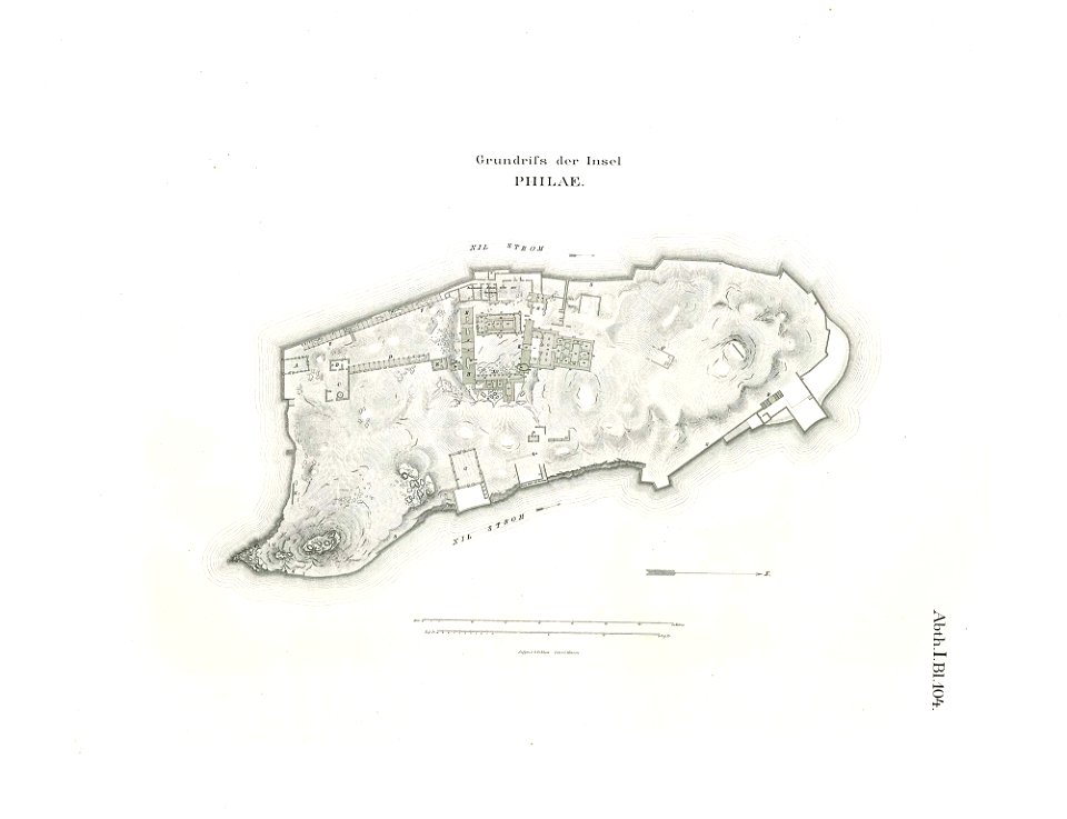
lepsius-projekt - maps
floor plans of philae
west virginia
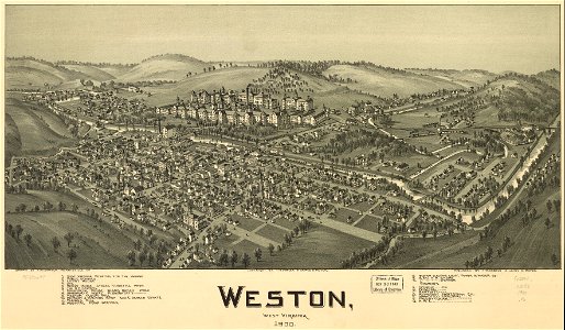
weston
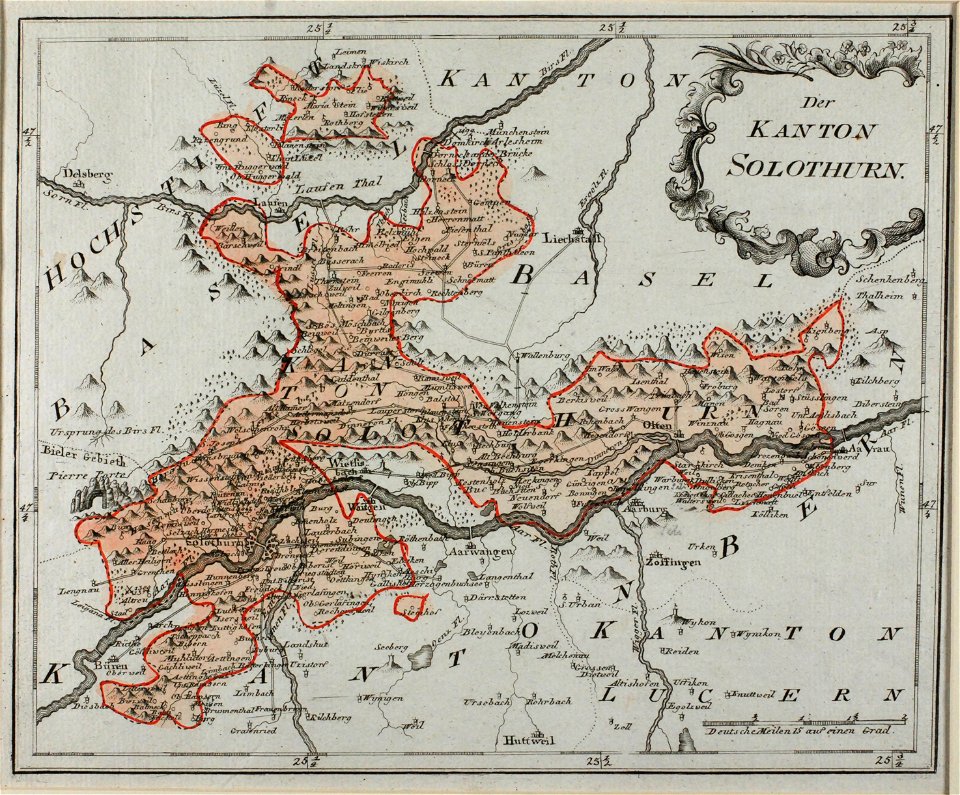
historical images of solothurn
old maps of switzerland
historical images of solothurn
old maps of switzerland
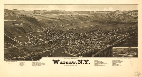
historical maps of warsaw
henryk marconi
old maps of the canton of zürich
heinrich keller
prints from the peace palace library
old maps of zeeland
bird's eye view maps of paris
pictorial maps of paris
popular science monthly illustrations/volume 11
1877 maps
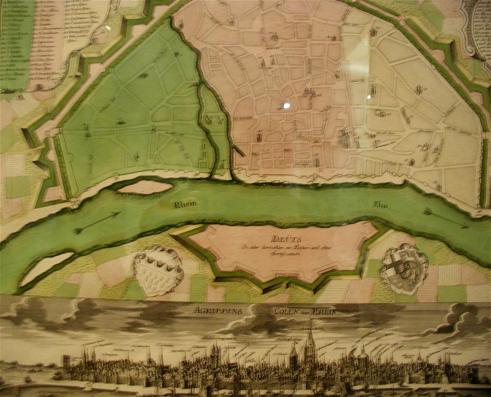
parts of old maps of cologne
maps by matthäus seutter
new york
warsaw
west virginia
weston
a map of the british empire in america with the french and spanish settlements adjacent thereto
maps in the library of congress
a map of the british empire in america with the french and spanish settlements adjacent thereto
maps in the library of congress
a map of the british empire in america with the french and spanish settlements adjacent thereto
maps in the library of congress
a map of the british empire in america with the french and spanish settlements adjacent thereto
maps in the library of congress
a map of the british empire in america with the french and spanish settlements adjacent thereto
maps in the library of congress
a map of the british empire in america with the french and spanish settlements adjacent thereto
maps in the library of congress
a map of the british empire in america with the french and spanish settlements adjacent thereto
maps in the library of congress
a map of the british empire in america with the french and spanish settlements adjacent thereto
maps in the library of congress
a map of the british empire in america with the french and spanish settlements adjacent thereto
maps in the library of congress
a map of the british empire in america with the french and spanish settlements adjacent thereto
maps in the library of congress
a map of the british empire in america with the french and spanish settlements adjacent thereto
maps in the library of congress
a map of the british empire in america with the french and spanish settlements adjacent thereto
maps in the library of congress
a map of the british empire in america with the french and spanish settlements adjacent thereto
maps in the library of congress
a map of the british empire in america with the french and spanish settlements adjacent thereto
maps in the library of congress
a map of the british empire in america with the french and spanish settlements adjacent thereto
maps in the library of congress
a map of the british empire in america with the french and spanish settlements adjacent thereto
maps in the library of congress
a map of the british empire in america with the french and spanish settlements adjacent thereto
maps in the library of congress
a map of the british empire in america with the french and spanish settlements adjacent thereto
maps in the library of congress
a map of the british empire in america with the french and spanish settlements adjacent thereto
maps in the library of congress
a map of the british empire in america with the french and spanish settlements adjacent thereto
maps in the library of congress
a map of the british empire in america with the french and spanish settlements adjacent thereto
maps in the library of congress
a map of the british empire in america with the french and spanish settlements adjacent thereto
maps in the library of congress
a map of the british empire in america with the french and spanish settlements adjacent thereto
maps in the library of congress
a map of the british empire in america with the french and spanish settlements adjacent thereto
maps in the library of congress
a map of the british empire in america with the french and spanish settlements adjacent thereto
maps in the library of congress
a map of the british empire in america with the french and spanish settlements adjacent thereto
maps in the library of congress
a map of the british empire in america with the french and spanish settlements adjacent thereto
maps in the library of congress
a map of the british empire in america with the french and spanish settlements adjacent thereto
maps in the library of congress
a map of the british empire in america with the french and spanish settlements adjacent thereto
maps in the library of congress
a map of the british empire in america with the french and spanish settlements adjacent thereto
maps in the library of congress
a map of the british empire in america with the french and spanish settlements adjacent thereto
maps in the library of congress
a map of the british empire in america with the french and spanish settlements adjacent thereto
maps in the library of congress
a map of the british empire in america with the french and spanish settlements adjacent thereto
maps in the library of congress
a map of the british empire in america with the french and spanish settlements adjacent thereto
maps in the library of congress
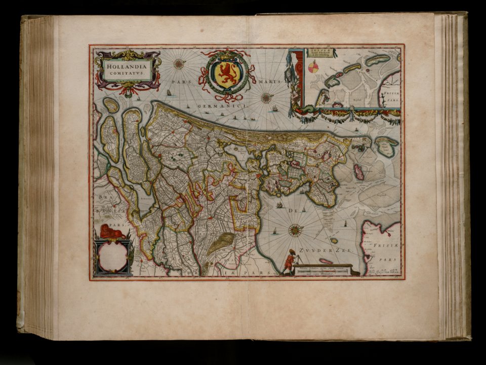
joan blaeu
old map
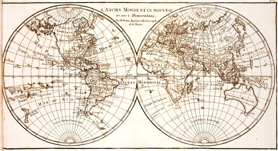
world map
project
old maps of île de la cité
île de la cité in art
map of paris by claes jansz. visscher - derivate files
churches in paris on the maps
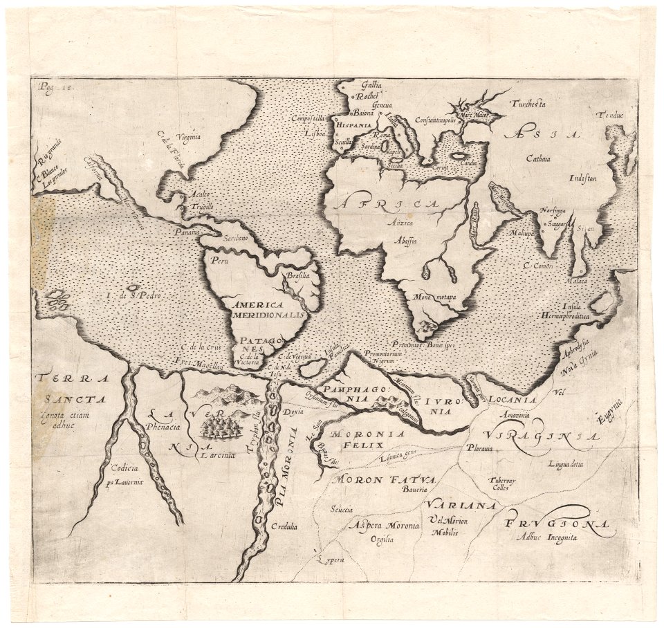
cornell: persuasive cartography: the pj mode collection
cornell university library
theodor de bry
amazon
old maps of india
old maps of tibet
eran laor cartographic collection
romanticism
maximilien de béthune
duc de sully
maps of the dutch east india company - madagascar
1635
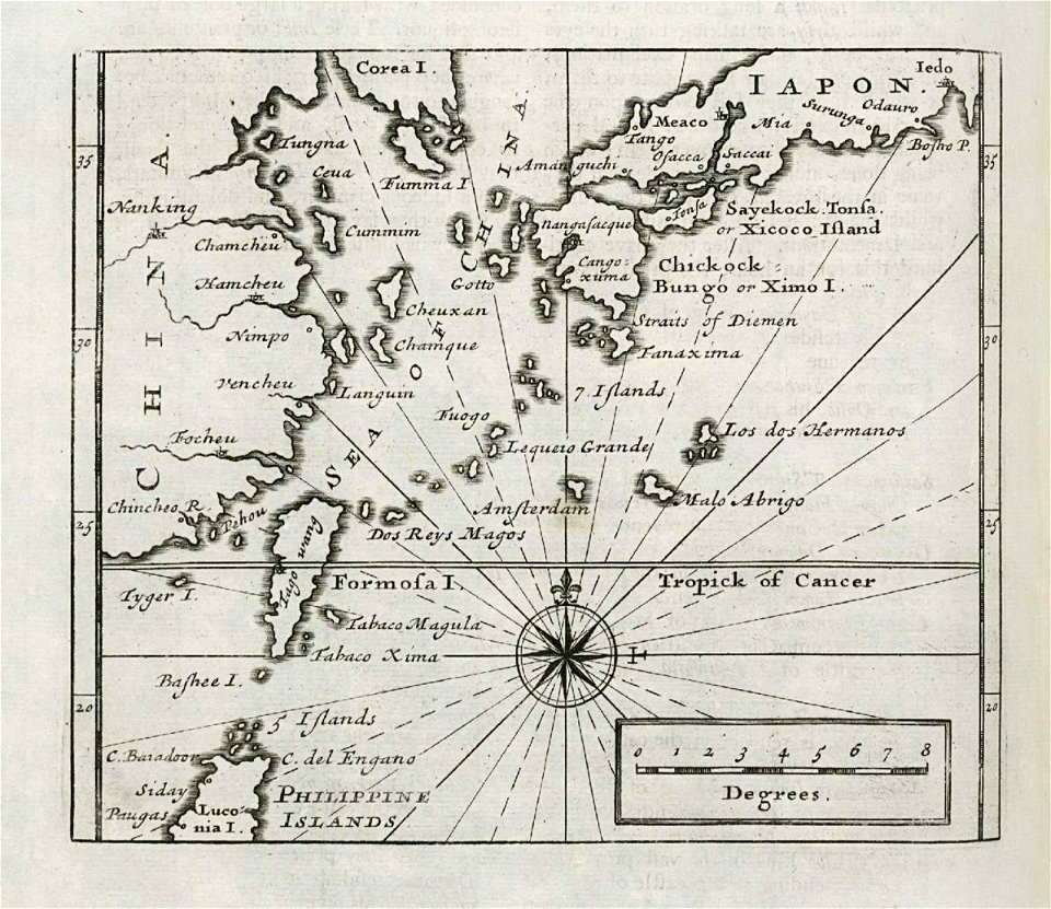
maps of the dutch east india company - japan
1732
maps made in the 17th century
gerard valck
maps made in the 18th century
gerard valck
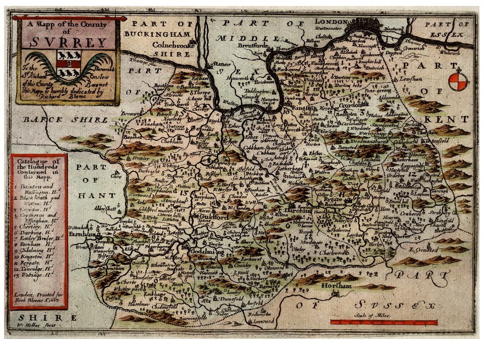
university of toronto wenceslas hollar digital collection
hollar maps and plans of london
cornell university library
puritan
5001 - 5100 of 36,689
Next page
/ 367